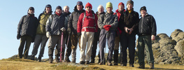
Steps Bridge; Mardon Down; Clifford Bridge. (The Daffodil Walk) 10.9 Miles. 2300 ft 12th March 2014
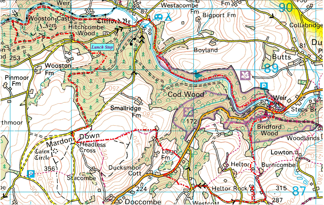
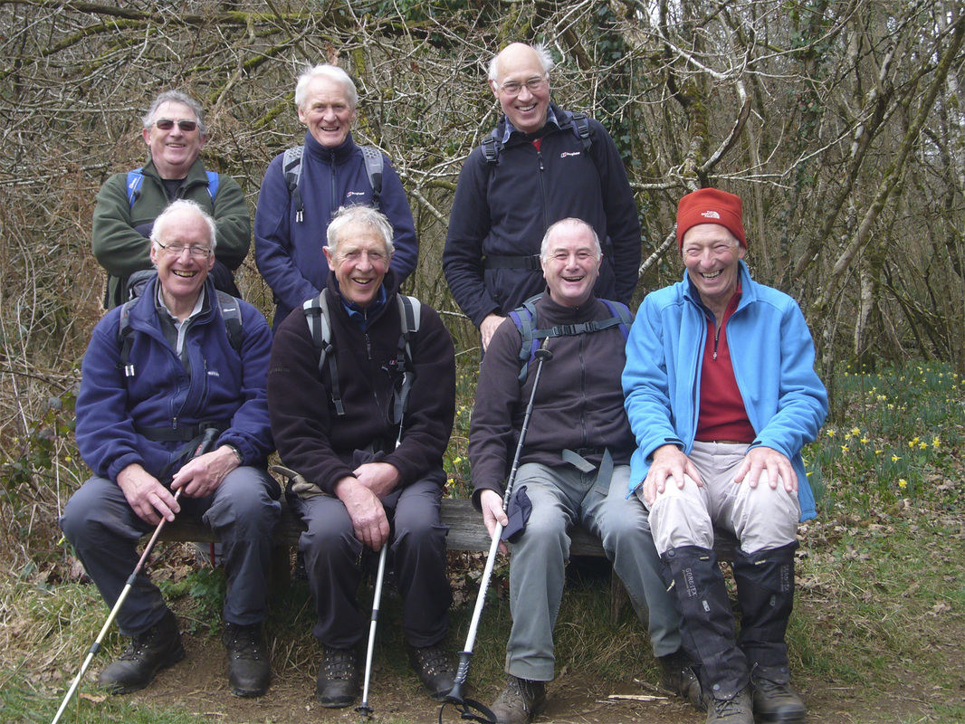
W/W 13th March 2019. The Daffodil Walk. Steps Bridge; Mardon Down; River Teign from Clifford Bridge.The annual walk, planned to admire the wild Daffodils of the Teign Valley. This year is no exception and a wonderful opportunity to walk through this magnificent country side and experience the carpets of wild flowers , particularly along the river banks. The weather was kind to us, with a strong cold NW wind, but no rain!
Total Distance measured on the GPS iPhone App, 10.1 miles. Total altitude climbed 2210 ft.
…Mike
Total Distance measured on the GPS iPhone App, 10.1 miles. Total altitude climbed 2210 ft.
…Mike
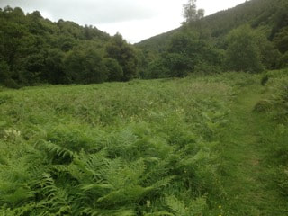
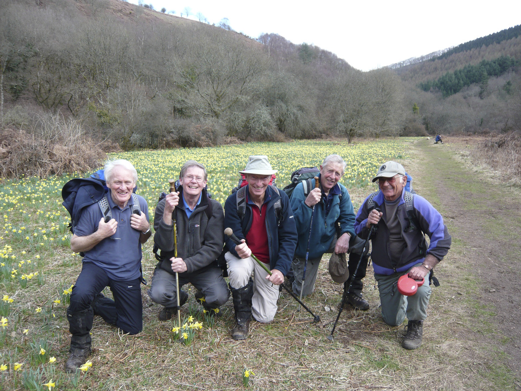
WEDNESDAY 8th JULY 2020/ This was our annual walk, normally undertaken in March, in search of the wild Daffodils of the Teign Valley. The Bluebells also traditionally play a major part. This year however, things dramatically changed, with the on-set of the Corona Virus in early March and the associated ‘Lockdown’; when we were unable to achieve our normal program.
The walk of course was very different with the trees in full leaf and the Bracken, some 4ft high or even more in places.
The route involves a lot of climbing with a summated ascent of around 2210 ft. Total distance 10.1 miles. Some variation between me and George. He has 10.9 miles. I suspect the variations are built in to the View Ranger system, depending on the navigating instrument set-up and the possible shielding from satellite communication, when under heavy tree foliage or in a ruck sack. Anyway, I have checked the figures on my memory map system and they correlate. Always an interesting route, taking us through the iron age fort at Woosten (castle), and close to the other forts at Prestonbury and Cranbrook. The 2 enclosed photo’s show the landscape contrast of the walk, between seasons…………Mike
Steps Bridge Daffodil Walk 14th March 2012 by George
| daffodill_walk_steps_bridge.gpx |
