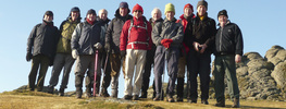
Ringmore, Bigbury, Wonwell, Kingston. 9 Miles 2300 ft 2nd May 2012
Wednesday 1st May.
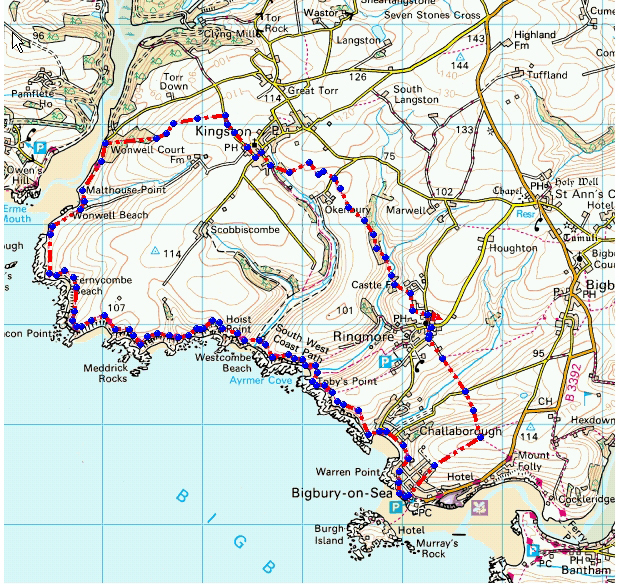
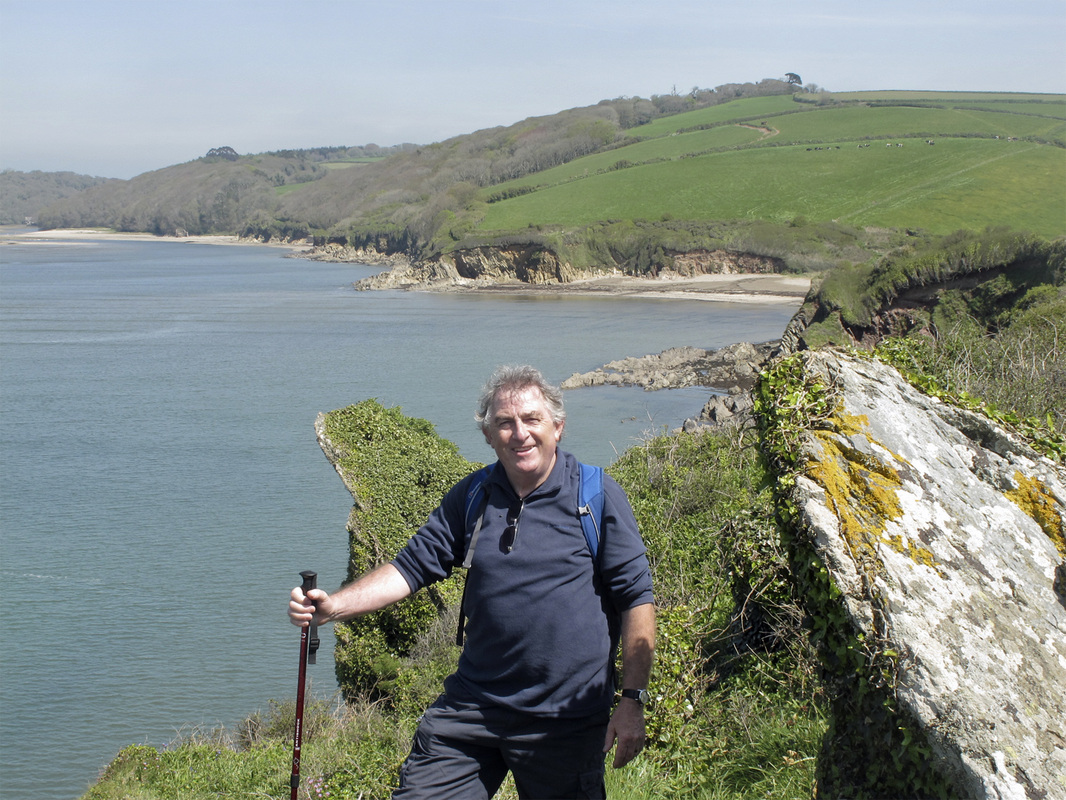
This walk is one of our hardy annuals and on this occasion we undertook the route in reverse direction (anti-clockwise). The Bluebells in the high point of the woods above Wonwell, were quite exceptional, where we took morning coffee whilst absorbing the spectacle. We enjoyed plenty of sunshine for most of the day, which once again of late, was contrary to the forecast.
After lunch; taken on Westcombe Beach, we climbed the steep hill to Toby’s Point (Ayrmer Cove); here George hastened to tell me that I had probably stepped upon an Adder. We watched as it wriggled away into the undergrowth. A fine specimen, about 2ft long.
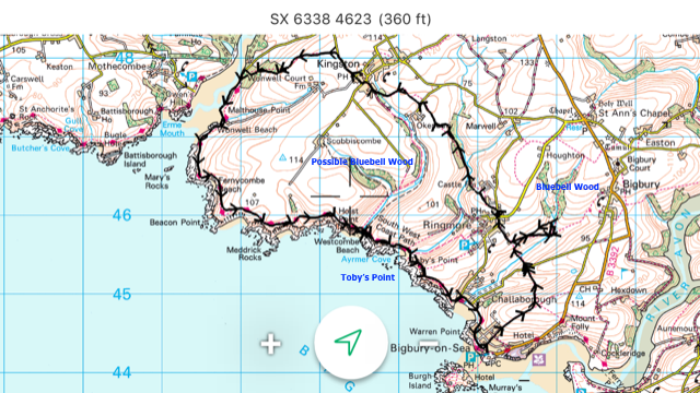
Last year we were advised by some local people to view the spectacle of Bluebells in the woods just NE of Ringmore. We tried to locate the area At GR 660 460, but were defeated by the non existence of a (marked) public footpath near the location. (See map below) I think we probably finally determined a route but proposed to leave it until the next occasion, with a little more time to spare. Total Route 9.7 miles; Ascent/ descent 2280 ft. Quite a hard walk; 17.15 hrs finish!………Mike
This walk is one of our hardy annuals and on this occasion we undertook the route in reverse direction (anti-clockwise). The Bluebells in the high point of the woods above Wonwell, were quite exceptional, where we took morning coffee whilst absorbing the spectacle. We enjoyed plenty of sunshine for most of the day, which once again of late, was contrary to the forecast.
After lunch; taken on Westcombe Beach, we climbed the steep hill to Toby’s Point (Ayrmer Cove); here George hastened to tell me that I had probably stepped upon an Adder. We watched as it wriggled away into the undergrowth. A fine specimen, about 2ft long.
Last year we were advised by some local people to view the spectacle of Bluebells in the woods just NE of Ringmore. We tried to locate the area At GR 660 460, but were defeated by the non existence of a (marked) public footpath near the location. (See map below) I think we probably finally determined a route but proposed to leave it until the next occasion, with a little more time to spare. Total Route 9.7 miles; Ascent/ descent 2280 ft. Quite a hard walk; 17.15 hrs finish!………Mike
Ringmore walk, 2nd May 2012 by John F.
Barry, Ringmore Bigbury Walk 2nd May 2012 by John F.
